


According to a recent McKinsey Study, large construction projects typically take 20% longer than expected to complete and are up to 80% over budget. Drones, more accurately referred to in a business context as unmanned aerial vehicles (UAVs), present significant opportunities for achieving increased quality, reduced costs, improved decision-making and the mitigation of safety risks in the engineering and construction industries. Moreover, UAVs offer a high level of automation that enables operators to reach previously inaccessible areas while quickly capturing a large volume of data. These are an additional 12 uses of drones in engineering and construction.
1. Optimize Project and Maintenance Costs
UAVs can be used to automate simple tasks that significantly reduce labor costs while providing better accuracy. They are already used in quarries for topographic surveys and for measuring reserves and storage volumes. UAVs can also replace workers on operations that normally require the shutdown of machinery, which eliminates costly downtime and the use of expensive security equipment. In particular, they’re used in the utilities industry to keep refineries and rigs operational during inspections.
2. Provide Real-Time Information for Quick, Informed Decisions
UAVs can assist project managers by providing real-time pictures of entire projects and keeping them informed about day-to-day progress. Managers are then able to anticipate planning delays and quickly make more informed decisions.
3. Reduce Workers’ Exposure
UAVs enable organizations to inspect hard-to-reach or contaminated areas and deliver supplies without exposing workers to potential risks. For example, engineers used UAVs to inspect the 343-meter-high Milllau Viaduct in France, controlling them from the ground and thereby reducing employees’ personal risk.
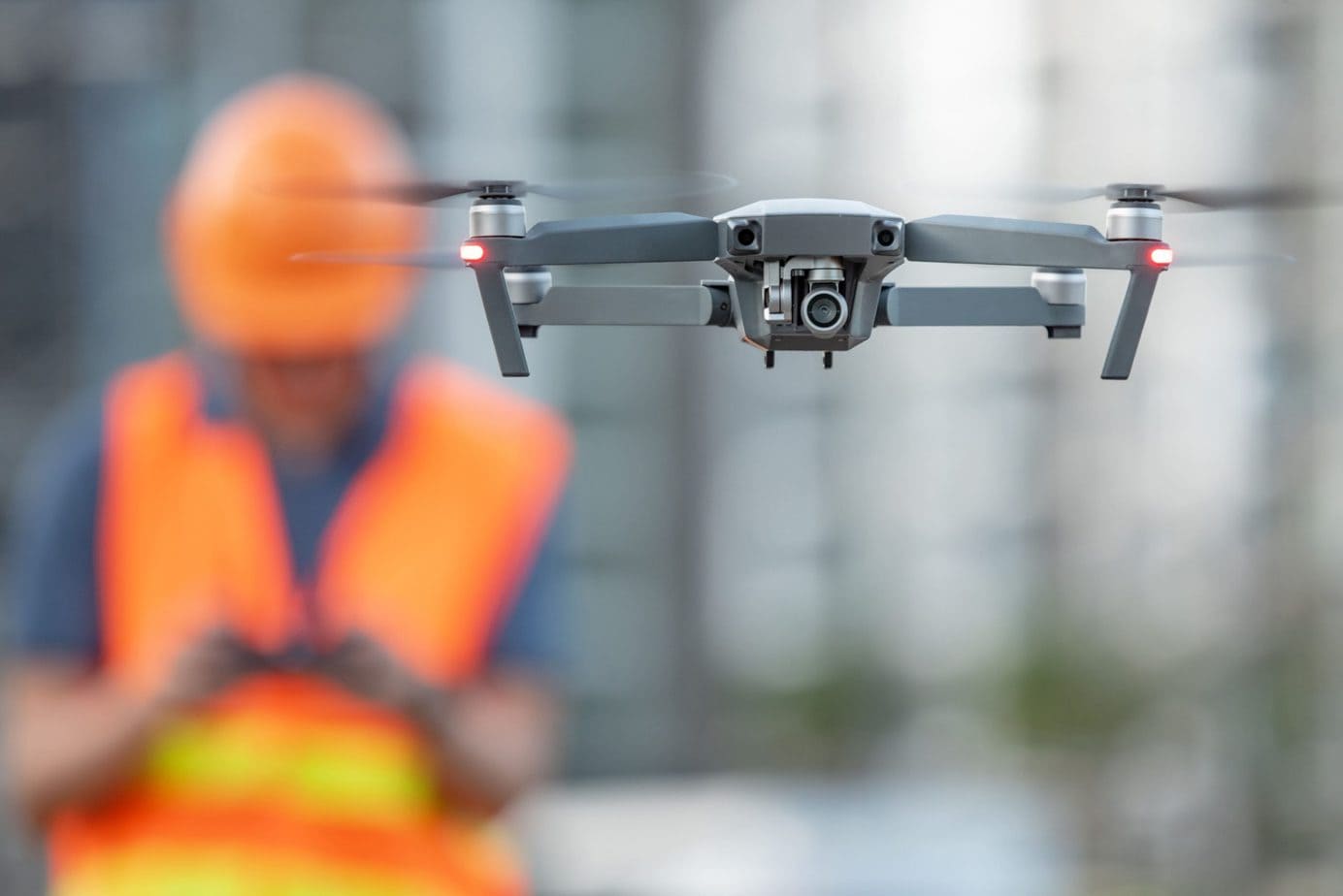
4. Provide Accurate and Comprehensive Data
In addition to detailed aerial photographs, the data collected by a drone in a single flight provides a complete map of the site with GPS points—in 2D and 3D. These maps allow accurate measurements of distances, surfaces, elevations and volumes. From there, photogrammetry software also generates elevation models such as digital terrain models (DTMs) and digital surface models (DSMs). And with drones, there is no need to return to a job site because a data point was missed.
5. Monitor Gas Emissions
UAVs enable the use of thermal imaging to identify and pinpoint gas leaks on platforms or towers, which enables workers to avoid potentially dangerous exposure to emissions and reduces the need for costly shutdown.
6. Perform Dangerous Tasks to Improve Worker Safety
Drones can improve jobsite safety by replacing humans for certain hazardous tasks such as:
- Inspection of assets at dangerous heights.
- Exploration of areas containing hazardous materials, temperatures or gases.
- Identification of electrical hazards and utility lines.
Having drones perform tasks like these can reduce incidents from OSHA’s “Fatal Four” construction hazards:
- Falls
- Swinging, falling or misplaced objects
- Electrocutions
- Caught-ins and caught-betweens
7. Facilitate Bidding and Pre-planning
Even before the launch of many construction projects, a topographic survey of the site is required to get a good understanding of the environment in which the project will take place. DTMs and DSMs of a site generated with drone data can show possible drainage points, changes in elevation and other factors that can enable the selection of the best locations for building, digging or storing materials.
8. Assess Planning and Design
The images collected by drones can subsequently be used as part of the planning process, to provide a foundation for the work to be performed by architects, local authorities and engineers. Using drone orthophotos and 3D models, you can overlay buildings onto their environment to get a clear sense of how a new building might look next to an existing one and you can assess how the new structure will impact the area from practical and aesthetic viewpoints.
3D models also allow analysis and visualization of cast shadows and outlooks/views. In addition, precise data such as curb and manhole measurements can be extracted and imported into CAD or GIS software.
9. Monitor Site Progress
During the construction phase, site managers have to control and validate completed work in order to permit continued work. The faster they’re able to check and validate a task, the faster they can move on to the next task, which saves time throughout the overall construction process.
Given the relatively low cost of using a drone to collect visual data on a construction site, it’s possible to carry out surveys on a regular basis and maintain a record of progress.
10. Enable On-Demand Operational Planning
The visual data from regular drone surveys assists on-demand operational planning. Moreover, it helps explain how immediate work should be performed and assists in identification of safe and hazardous areas. Visual reports can also be sent to customers to help them stay informed about project progress progressing in terms of time and budget.
11. Catch Mistakes Before They Cause Catastrophe
When a project reaches a milestone, project managers need to ensure that everything has met the highest standards. Further construction is based on that milestone, so if something has been done incorrectly or not quite to spec, it might necessitate tearing down what has been done and starting all over again. Up-to-date visual data can point to mistakes before they take shape so as to avoid demolition and the waste of time and materials related to it. If a mistake happens and is built over, the process documentation can be accessed and the exact location and nature of the mistake can be more precisely determined so disputes can be settled without lengthy discussion or litigation.
12. Deliver Next-Gen Capabilities
As 5G wireless networks continue to be built out, connected drones have the potential to unlock additional capabilities. Virtual reality applications are emerging, like next-generation inspections and the monitoring of resource movement. These capabilities stand to benefit from the power of 5G, which can offer:
-
- Low latency, potentially allowing control of aircraft from miles away in near real time.
- Rapid data transfer, enabling transmission of high volumes of data.
- Near real-time analytics during flight with mobile edge computing (MEC).
- Up to one million connected devices per square kilometer.
Do you have any experiences working with UAVs? Let us know your thoughts below.

Leave A Comment